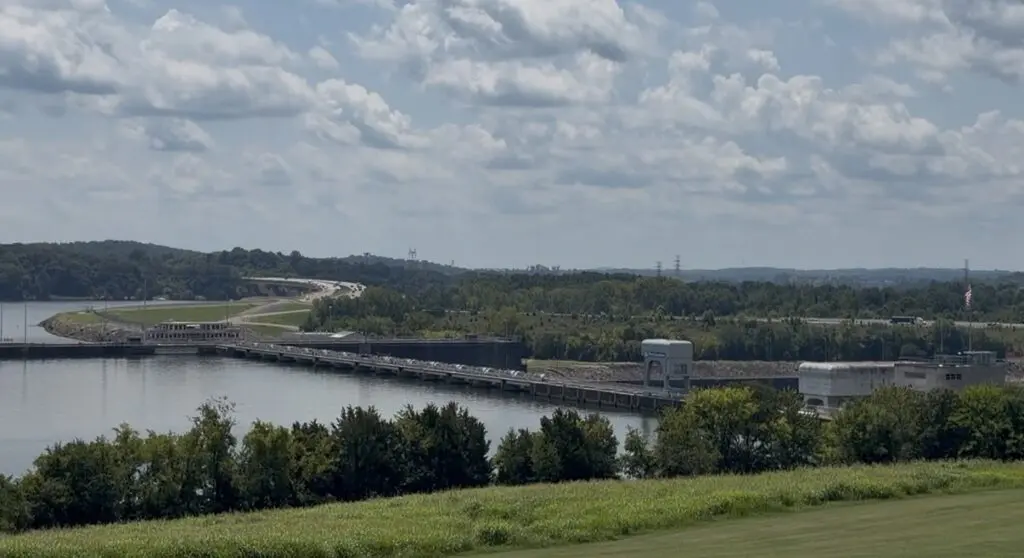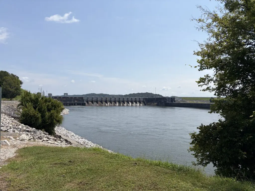
You’ve probably driven over Fort Loudoun Dam a dozen times without ever really looking at it. The road just carries you across, and you’re on to the next thing. But that stretch of concrete is the reason Farragut has a lake at all — so, I’d like to tell you the history of Lake Loudoun Dam and why it matters.
I filmed the full version on site. Watch it here: https://youtu.be/PUsx5c6tz5k?si=7cqE_K30wge971F2
What you’re actually looking at
Fort Loudoun Dam sits on the Tennessee River in Lenoir City. It’s the uppermost dam in a chain of nine that TVA built down the river — the first link in a navigable channel that runs six hundred fifty-two miles, all the way to Paducah, Kentucky. Everything downstream, Watts Bar, Chickamauga, all of it, starts here.
Even the name has history behind it. It’s named for an actual fort — Fort Loudoun, built about ten miles south of here in the 1750s during the French and Indian War, named for a British earl who never once set foot in Tennessee. TVA borrowed the name two centuries later.
When it went up, and how fast
TVA proposed this dam in 1939, got it authorized in 1940, and broke ground that July. The original plan was to finish in 1944. Then World War II hit, and the project got pushed hard — more funding, more urgency. The gates closed on August 2, 1943. The first generator came online that November. The second one in January of ’44. A dam this size, built in about three years, in the middle of a war.
And it’s a lot of dam: 122 feet high, stretching 4,190 feet across the river — nearly eight-tenths of a mile. Building it took 582,000 cubic yards of concrete. Before any of that water could rise, TVA had to relocate 317 residents, six cemeteries, and over sixty miles of roads. This whole lake used to be somebody’s farm.
What actually moves through it
Here’s the number that surprises people. TVA has clocked water moving through this dam at around 592,000 gallons a second — close to 80,000 cubic feet per second — during high-release periods. That water spins four hydroelectric generators with a combined capacity around 151 megawatts. That’s power running around the clock, off the same river you’re standing next to.
What it created
What all of that built is the lake itself. Fort Loudoun Lake: 14,600 acres, 379 miles of shoreline, stretching upstream almost to Knoxville. The lock right there still raises and lowers boats about seventy feet between this lake and Watts Bar below it, and it moves close to half a million tons of barge cargo a year — this is still a working river, not just a pretty one.
These days it’s not just infrastructure, either. The water below the dam draws herons, cormorants, ospreys, even bald eagles — it’s one of the better birdwatching spots on this whole river system. And the dam and its lock were listed on the National Register of Historic Places back in 2017, so this isn’t just useful anymore. It’s officially historic.
Why this matters if you live on the water
Every dock, every sunset on the main channel, every cove people pay a premium for in Farragut — it all traces back to this one structure, built by hand in the middle of a war, eighty-some years ago.
If you’re already thinking about buying on this lake, I put together a separate video covering the three things you need to check before you write an offer — dock permits, flood elevation, all of it. Link to Lakehouse Elevations Video
If you want to actually live on the water this dam created, text or call me. I can tell you exactly what it’s like — the docks, the permits, the real day-to-day of it.
Niki Walker, Wallace Real Estate. Text or call: 865-333-2722. TN Real Estate License #339202.